


Turn of the Centuries
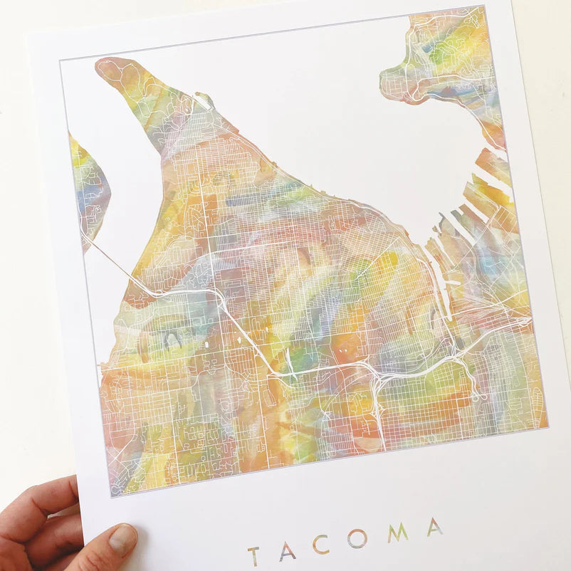
Tacoma Wa Rainbow Pride Map Print 11x14
Tacoma Wa Rainbow Pride Map Print 11x14
Couldn't load pickup availability
City of Destiny. She won the title when selected as the western terminus of the Northern Pacific Railroad in 1873, beating out Seattle and other emerging cities in the region. Since then, Tacoma has developed as fiercely independent and innovative. Don't compare Tacoma to that city to the north! Following a renaissance of reinvestment, redevelopment and governmental "clean-up" in the past thirty years, Tacoma now offers a plethora of top museums, great architecture - old and new, lovely parks and a strong community spirit, in addition to a beautiful location nestled between Tahoma/Mt. Rainier and the Puget Sound.
The map-drawing includes the entire width of the "peninsula" between the Port and the Tacoma Narrows, from Point Defiance to S. 56th Street. In addition to most of the City of Tacoma, this map-drawing includes Fircrest, University Place, Ruston and Browns Point.
This is a print. Her hand-drawn map lines are turned white over her watercolor wash, a layering of many hand-painted rainbows.
Epson archival coated paper / Epson Professional high-quality inkjet printer / Archival inks
Color may be slightly different on the print than in photos.
Frame not included.
{copyright © Kirsten Sparenborg 2021}