


Turn of the Centuries
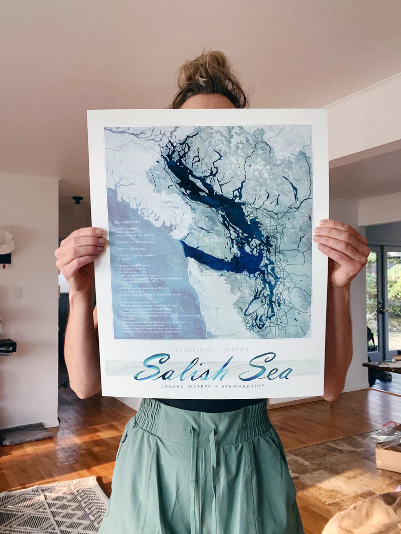
Salish Sea Map Print with Text 16x20
Salish Sea Map Print with Text 16x20
Couldn't load pickup availability
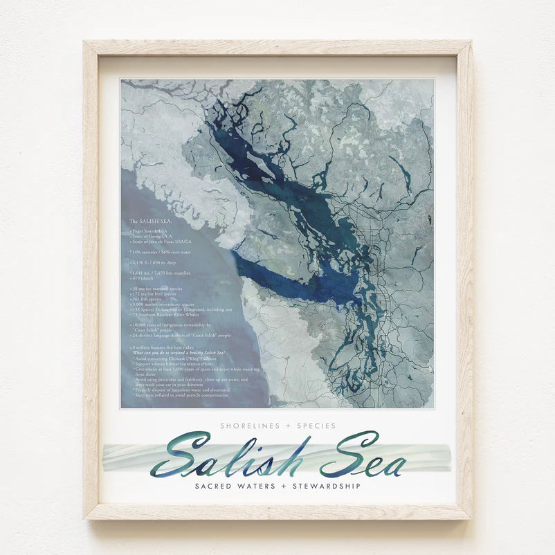
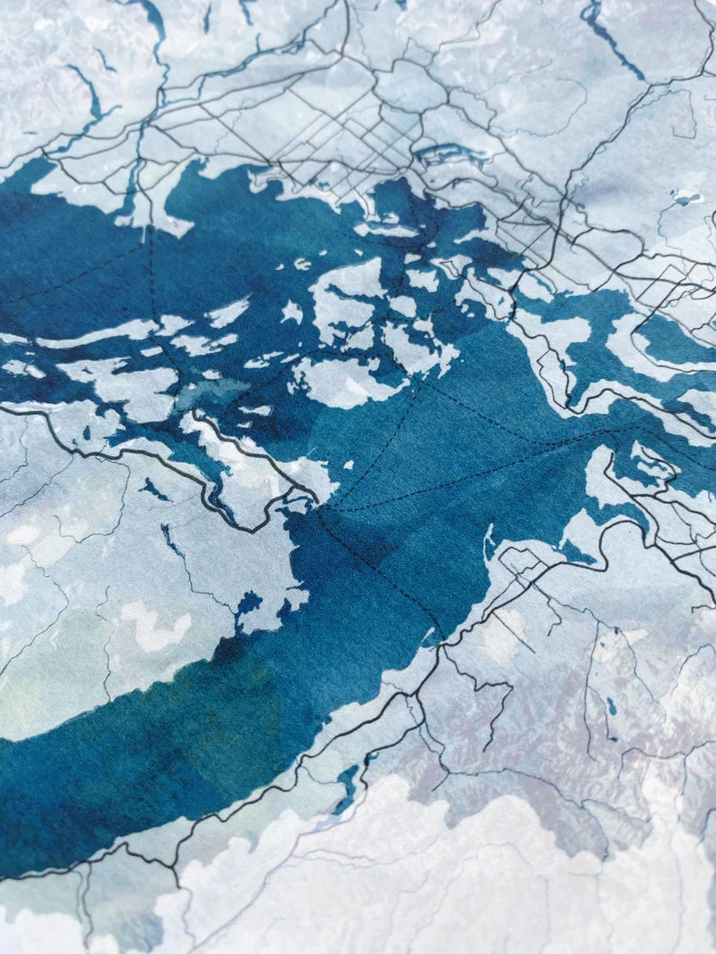
Salish Sea Puget Sound Washington Strait of Georgia British Columbia Watercolor Map.
For your Map Wall, memento of your adventures, reminder of home.
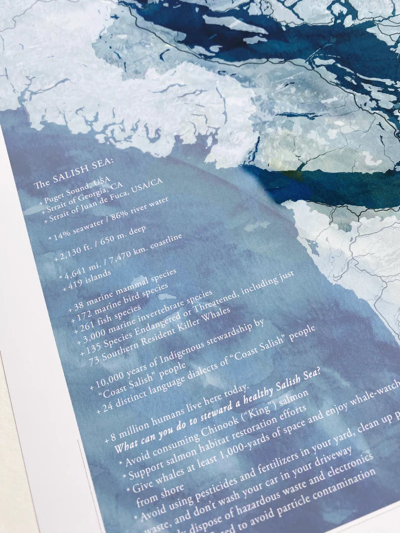
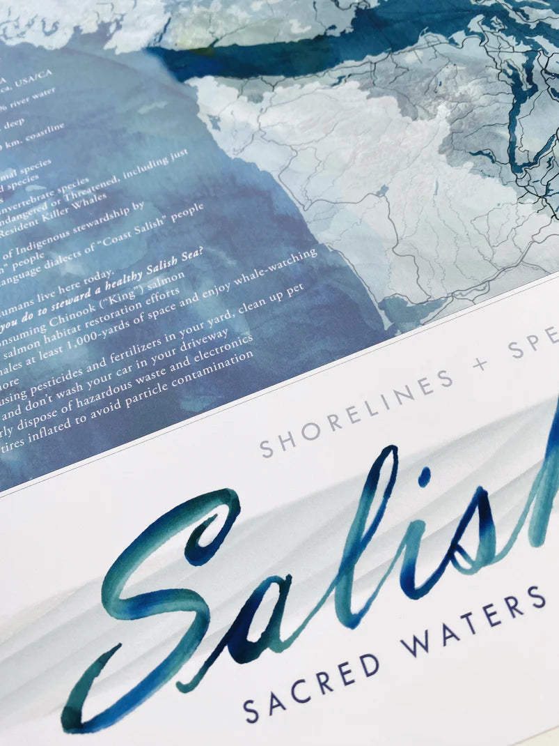
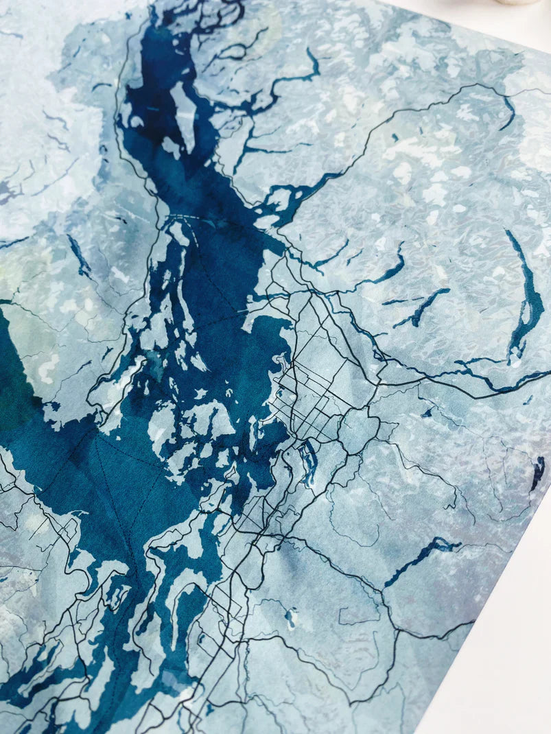
This is a print of her multi-layer watercolor map in deep blues, light blues and blue-greens, wavy and watery textures. Ferry Routes are dashed. The topography is drawn to relate how the Cascades and Olympics enfold this special sea and the road lines provide place context. No border on this map, though! Some insightful info on Sea stats and ways to help steward a healthy Sea are included.
Epson archival coated paper / Epson Professional high-quality inkjet printer / Archival inks
Color may be slightly different on the print than in photos.
Frame not included.
{copyright © Kirsten Sparenborg 2025}